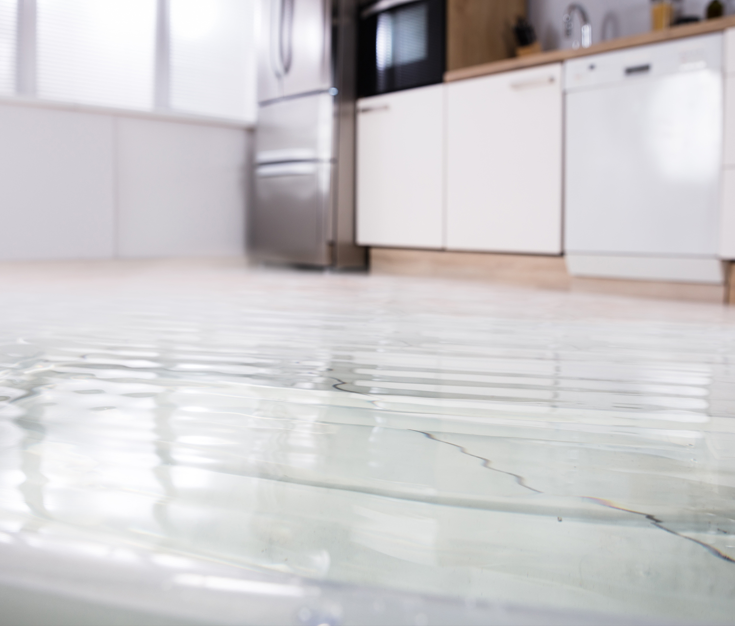
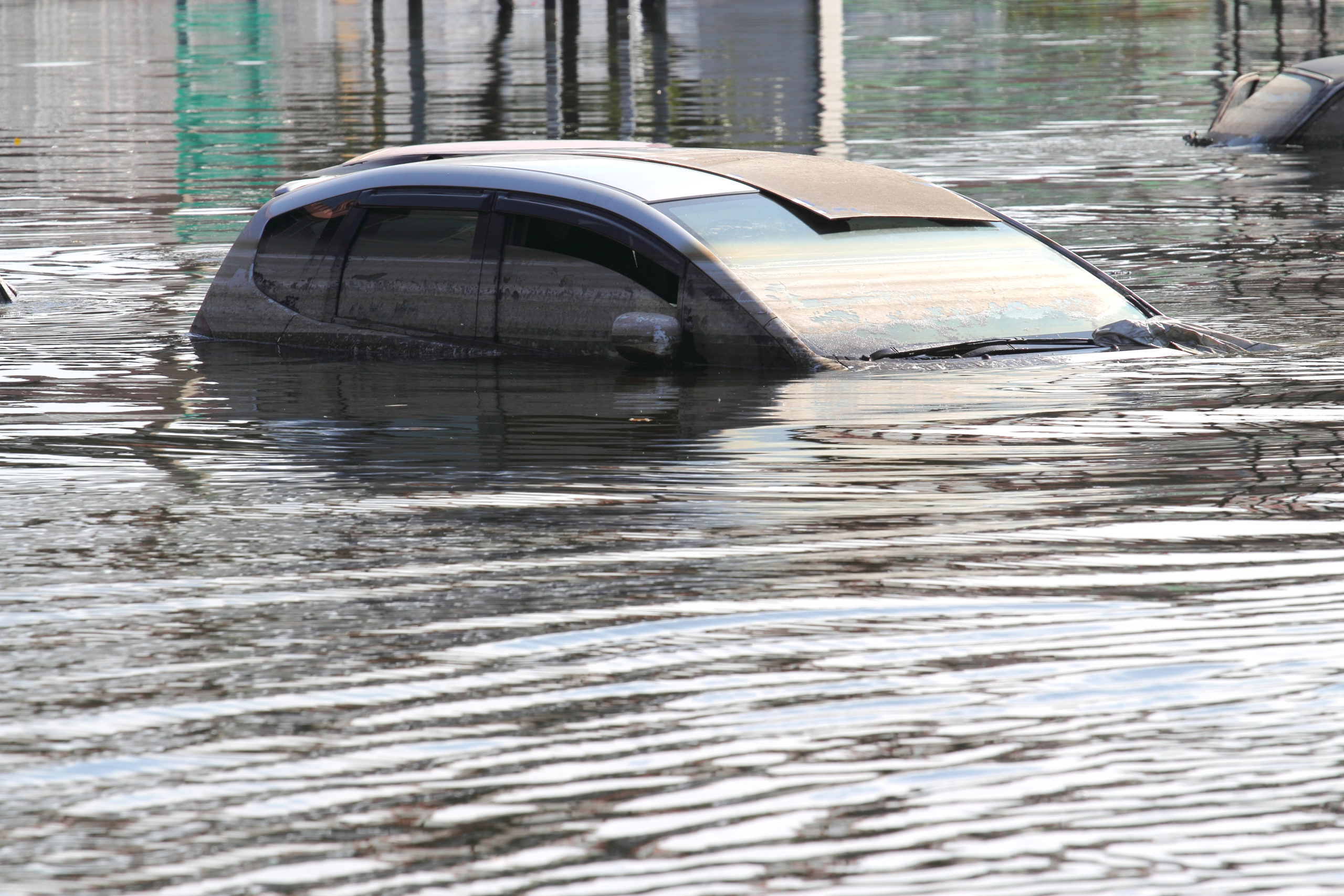
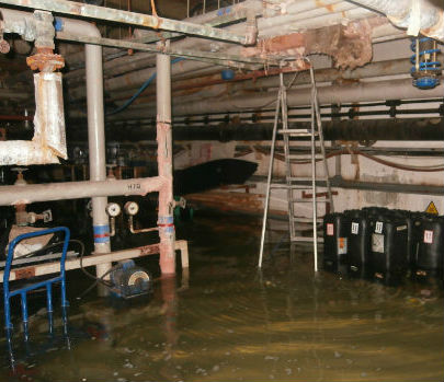
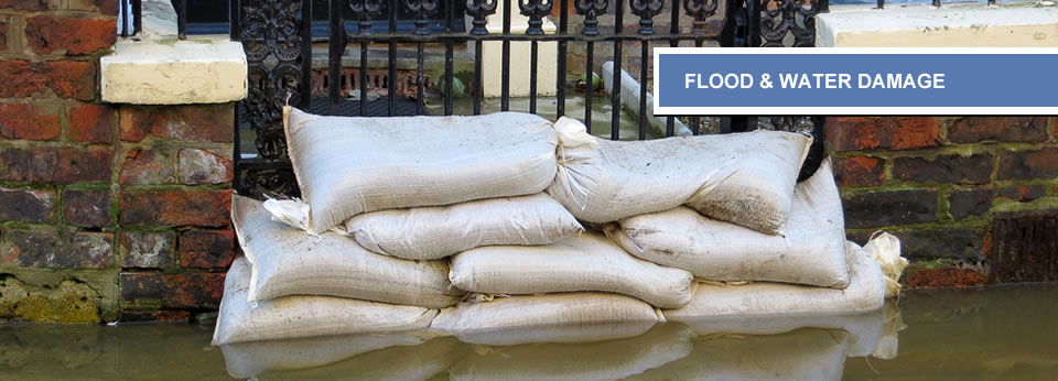
We’ve all seen the devastating pictures on the evening news, shared across the internet or splashed across the front pages of the newspapers when there’s a major flood, and whether you’ve been the victim of flooding or not, it’s obvious the kind of devastation which can be caused. Families lose their homes, valuable land is ruined and people can even lose their lives in some cases.
So what can be done to help prevent flooding? As with most problems these days, we turn to a very modern solution: technology; more specifically, drones. Drones are already here, being flown around by adults and children alike and even being touted for use in delivery services of the future.
How drones helped Tanzania
In Dar es Salaam, drones have helped local authorities and the Red Cross to map roads, streams and areas known as floodplains to identify risks to local populations. Flooding occurs on a yearly basis and poorer communities are more at risk because they cannot afford to live in properly protected areas.
Drones have presented a cheaper way of improving knowledge of how and why flooding occurs in the city, particularly the slums. With the glut of new information and detailed mapping of the region, it’s hoped that more can be done to protect those communities most at risk.
By knowing which areas are likely to flood and where the waters will run, the authorities should be able to react in a more effective manner, evacuating areas before the worst of the floods can strike.
What are drones and how are they useful?
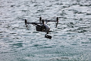
Sometimes referred to as UAVs (Unmanned Aerial Vehicles), drones have been given a range of applications since being first developed. Drones can be controlled remotely or they can be programmed with a mission before flight. In removing the need for a pilot, drones present themselves as a much more cost effective and efficient piece of equipment.
Both the British and the US governments have deployed drones in combat missions to deliver items into combat zones. Both governments also have weaponised drones in larger models, though the US has more experience in this area, performing strikes in Pakistan.
Outside of military deployment, drones are given a much less controversial purpose. Their unique ability to gain aerial shots of our landscape with minimal fuss and cost means that local authorities can use data collected to provide more direct flood protection schemes.
Though we are a small country, we have many long rivers – some over 200 miles long – and large open spaces, something which a drone can map in a comparatively short time. With enough quality images captured in such a quick, relatively riskless manner, it’s little wonder that experts are advocating the use of drones to map more of flood risk areas, including parts of London most at risk.
Storm Desmond research
Research performed via drones by Dr Entwistle at the University of Salford has shown that flooding can be analysed and, hopefully, better dealt with through vital mapping of floodplains and rivers in the UK.
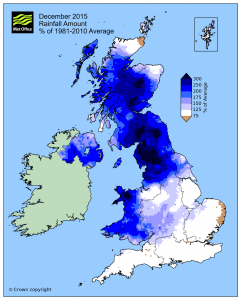
During Storm Desmond at the end of 2015, Dr Entwistle and colleague Dr Heritage filmed the Cumbria region to demonstrate how effective drones can be. Taking footage during and after, the two academics were able to discern that the floodplains are no longer effective due to anthropological interference.
With natural floodplains being missed, water is cascading further along the river’s path during heavy rain and causing problems. Now the pair have called for more data like this to be collected in order to help local authorities to better prepare for future flooding.
Flooding is unlikely to be completely eradicated, but it seems that more data can easily be collected via the use of drones to help protect future communities from the devastation which flooding brings.


